New Yorkers won’t have to miss the subway ever again thanks to the digital map allowing them to track the movement of trains in real-time.
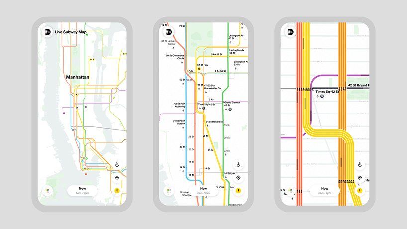
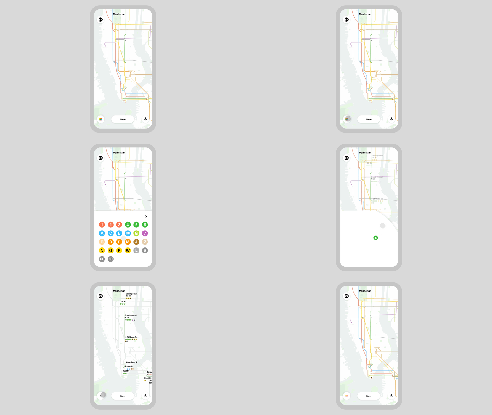
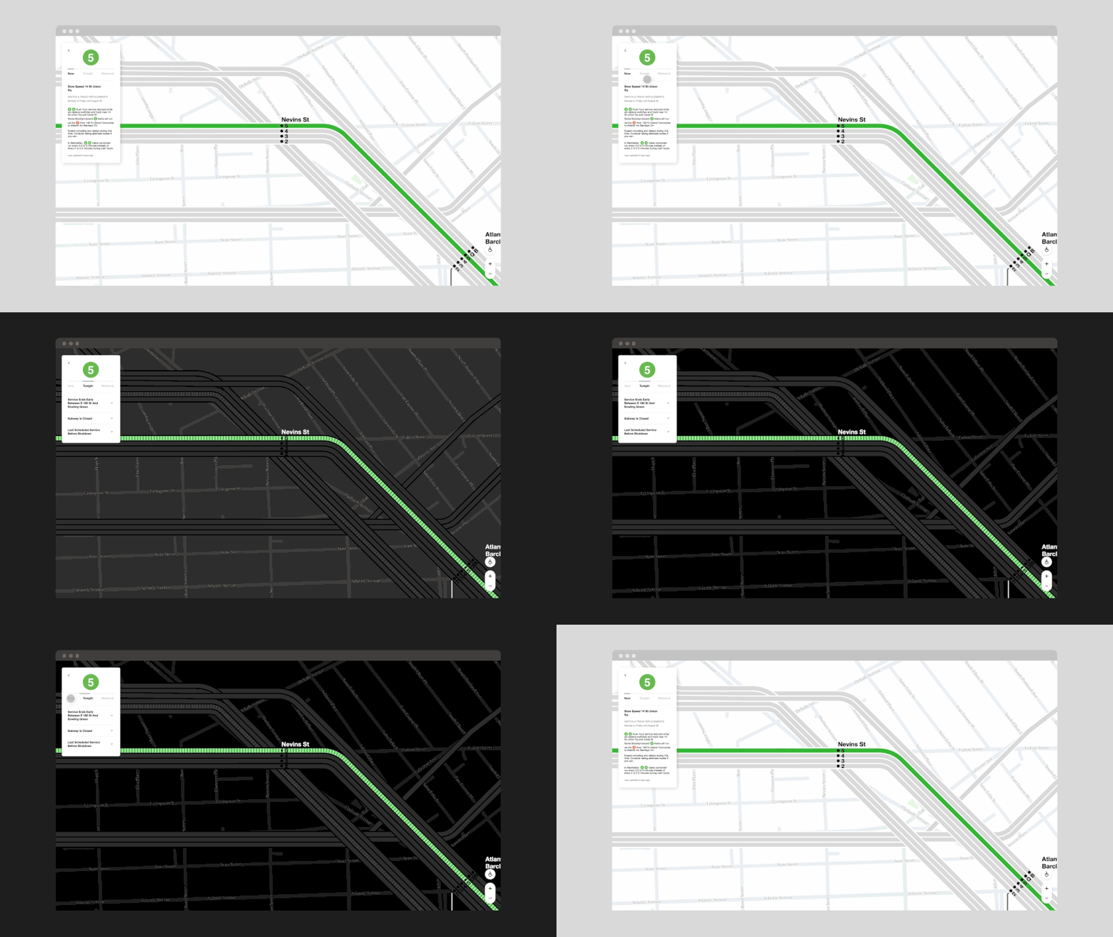
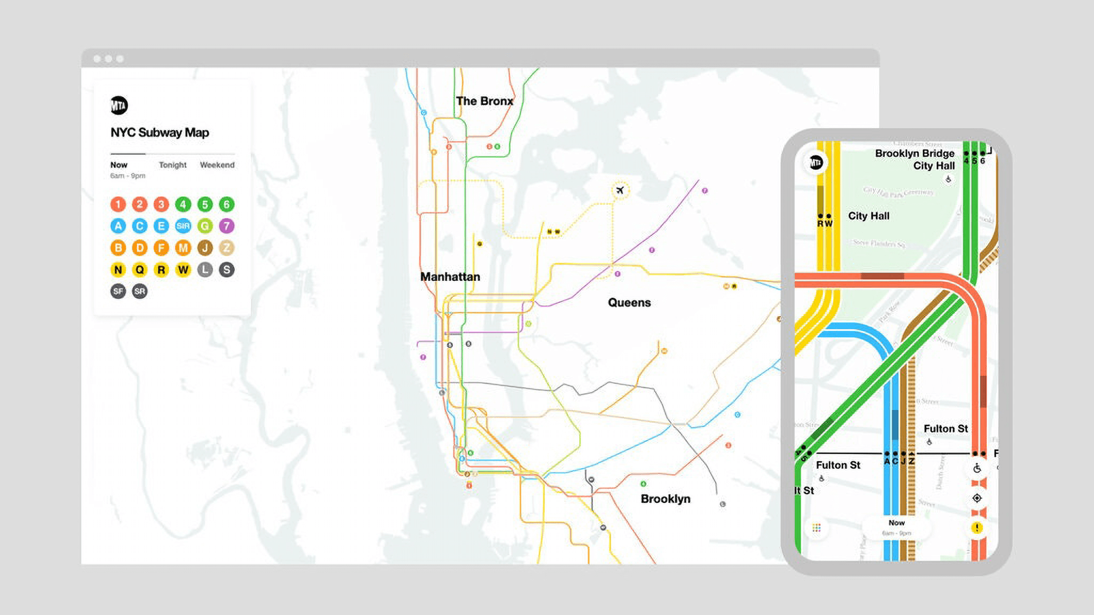
With the help of the live digital map introduced by the Metropolitan Transportation Authority (MTA), passengers get to track the trains moving on the lines of the city’s subway network in real-time. The system is built on the existing printed map designed by Massimo Vignelli in terms of visuality, but uses more precise geographical coordinates: the image of the subway network is overlaid atop a geographically-correct street grid, informing users in an animated manner, also allowing them to zoom in. Through real-time navigation, passengers can check when trains arrive, and they also get to see service changes due to problems in transportation.


The digital system is a by-product of a partnership between Work & Co and MTA – the work process was also documented by legendary filmmaker Gary Hustwit in a short documentary:
MTA map | Web
Work & Co | Web
Source: designboom

Where things have a soul | QUÍ Budapest

Good people, good places | Big picture of gastronomy


